The Gwydir Wetlands
An overview of environmental water management in the Gwydir River Valley.
The Macquarie Marshes Wetlands
An overview of environmental water management in the Macquarie River Valley.
Gwydir Wetlands
The Gwydir Wetlands are the western flowing semi-permanent wetlands, located on the Gwydir River floodplain, 60 kilometres west of Moree NSW, in the northern Murray Darling Basin. The climate is semi-arid with average annual rainfall of 585 mm. The wetlands consist of two main subsystems: the Gingham Watercourse (northern), the Big Leather - Lower Gwydir (southern). These systems are generally terminal wetlands, meaning that their water flows finish on the floodplain. Although in large floods the two will merge, flooding the vast plain and moving west to reach the Barwon-Darling River system. Historically, the Gwydir Wetlands covered more than 100,000 hectares, of a complex system of watercourses, lagoons and wetlands linking across the western floodplain.
Map source: Environment Australia 2001
The wetland and floodplain is significant to the local people of the Kamilaroi Aboriginal nation, as their heritage and a place of important cultural sites. These wetlands were also known as a place of bountiful wild foods. Early white settlers also relied on the wetlands, regarding them as ‘drought-proof’ prime grazing country. Wetland grazing was then the dominant farming enterprise.
The building of Copeton Dam and river regulation from the late 1970’s, drove a change in floodplain agriculture, towards irrigation and large dryland broad-acre farming. Today, the Gwydir Wetlands exists at around 10% of its former extent.
Source: Daryl Albertson/OEH
Record keeping of waterbirds in the Gwydir Wetlands began in the 1920s and at least 75 waterbird species have now been recorded. The rare species of Australian painted snipe, freckled duck, magpie goose, black-necked stork and brolga are amongst the birds that make this wetlands their regular home. At least fifty waterbird species are now known to have raised their young in the Gwydir. ‘The historic records also show that colonial waterbirds like ibis once bred more regularly, in about seven years of every decade. Unfortunately, as a result of upstream river regulation, it is now closer to only one or two events in a decade today.
Source: Daryl Albertson/OEH
Since the 1970s, the largest known breeding event took place after major flooding over July to September 1998, when 150,000 breeding pairs of straw-necked Ibis and large numbers of intermediate egrets, rufous night herons and glossy Ibis were recorded.
In the following years of 2000/2001 and 2004/2005, flooding returned, which resulted in small scale waterbird breeding. After a long dry spell the period 2010 – 2012 saw a return of water to the wetlands. The 2011/2012 season was one of the major wet years for the Gwydir, similar to that seen in 1955. In that season, surveys detected more than 75,000 nesting pairs across 14 different waterbird species. “Since then no major flooding has occurred in the Gwydir, although in the years 2013-2017 many generalist waterbird species have still bred in small numbers”
In 1999, sections of the Gwydir Wetlands were listed by four local wetland landholders, as Wetlands of International Importance, under the Ramsar Convention. This listing drew attention to the decline of their wetlands and the need to conserve what remained. In 2011, the Gwydir Wetlands State Conservation Area was created, of almost 8000 hectares which protects parts of both the Gingham Watercourse and Big Leather wetlands, under the management of the NSW National Parks and Wildlife Service. Actions by both community and governments are now in place to conserve what remains of the Gwydir Wetlands for future generations.

Source: Daryl Albertson/OEH
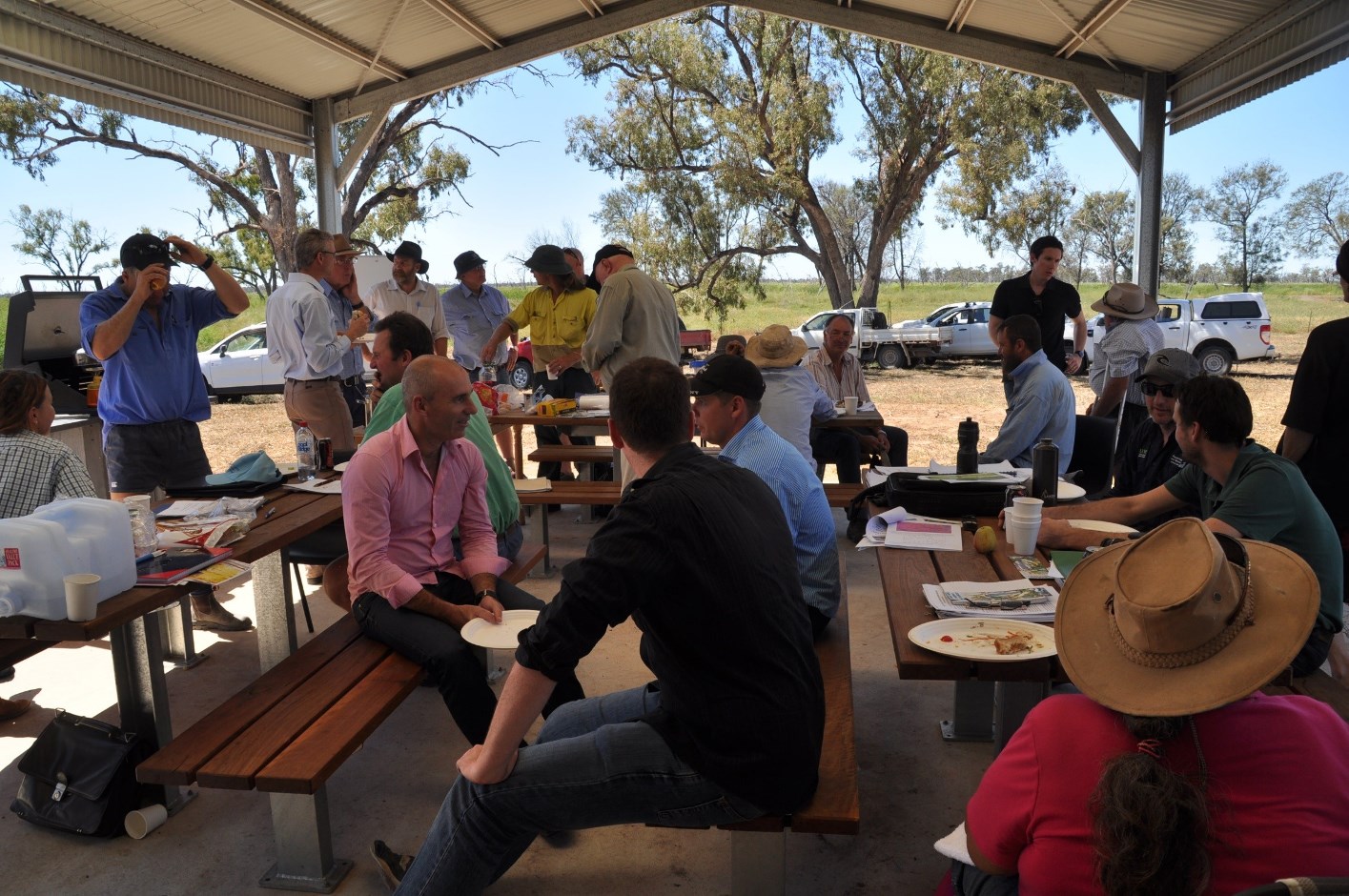
A diverse group of people work together to ensure that the Gwydir Wetlands are conserved and receive the water needed for the habitats and feeding areas that support our waterbirds. They do this by assisting the NSW Office of Environment and Heritage to manage and deliver water allocated for the environment.
This group of dedicated people include wetland landowners, scientists, bird watchers and volunteers, the local Environmental Water Advisory Group (the ECA Committee), staff from NSW Office of Environment & Heritage, Water NSW, NSW Department of Industry (water) and the Commonwealth Environmental Water Holder.
To support good decisions, the NSW Office of Environment and Heritage takes advice from the local ECA Committee who has the role in planning environmental releases, with their focus on the longer term benefits and best use of environmental water in the Gwydir.
Narran Lakes
The Narran Lakes are a terminal wetland located 75 km north-west of Walgett, NSW, in the northern Murray Darling Basin. The climate of the Narran Lakes system is semi-arid with annual average rainfall being 514 mm. The wetland receives inflows from the Narran River, an eastern distributary of the Lower Balonne system, covering about 27,809 ha consisting of a Northern Lakes region (Clear Lake, Back Lake and Long Arm), a Southern Lake region (Narran Lake) and associated floodplain habitat.
Map source: Rachael Thomas/OEH
The Narran Lakes are a deeply spiritual place for Aboriginal people. The river system has played an important role as a source of food and medicine, and as a meeting place. The area is the site of many important Indigenous artifacts, including a rock quarry. In the past, these rocks were used to make tools and to trade between tribes.
Typical in a semi-arid environment and other parts of the lower Condamine-Balonne catchment, flows in the Narran River are highly variable, with years of no flow, then large floodplain flooding. These large floods typically reach the Narran Lakes after heavy rain in the upper Condamine-Balonne catchment in Queensland. The Narran Lake can fill up to 2 m deep and hold water for up to two years, and Clear Lake fills to 1.5 m and can hold water for 12 months if no further inflows enter. However, the vegetation and the waterbirds of the Narran system are at risk from reduced flooding caused by upstream water use for agriculture in Queensland.

Source: Office of Environment & Heritage
The Northern part of Narran Lakes was gazetted as the Narran Lake Nature Reserve in 1988, of 26,480 hectares, which protects part of this important wetlands, under the management of the NSW National Parks and Wildlife Service. The lakes are internationally important because of its rarity and naturalness; its significance for waterbirds, supporting large colonial waterbird breeding events of ibis, spoonbills and cormorants; and its importance as a drought refuge for waterbirds. In 1999, part of Narran were protected under the Ramsar Convention as a wetlands of international importance and then a further part was added in 2016. The site was extended to capture more breeding and feeding habitat for waterbirds. It now covers the whole floodplain area within Narran Lake Nature Reserve.
Source: Tracy Fulford
The wetlands of Narran Lakes have been identified by Birdlife Australia as a Key Biodiversity Area because they support large numbers of nesting waterbirds when flooded. The Gwydir Wetlands and the Macquarie Marshes are also listed as Key Biodiversity Areas for these reasons. Birds include the largest colony of straw-necked Ibis (with up to 200,000 pairs), over 1% of the world populations of Australian Pelican and black-fronted dotterels and small numbers of endangered Australasian bitterns. Other birds which have been recorded in relatively large numbers include pied, little black and great cormorants, freckled and pink-eared ducks, black swans, glossy ibises, whiskered terns, royal spoonbills and darters.
To find out more visit: http://www.birdlife.org.au/projects/KBA
In total 54 species of waterbirds have been recorded in the Narran Lakes Nature Reserve since 1971. Floodplain vegetation in the Narran Lakes mainly consists of large stands of important vegetation types which when flooded can provide breeding habitat for large numbers of colonially-nesting waterbirds and waterfowl. These wetlands are also an important part of our regional network of wet places where our waterbirds can source their food and habitat when needed. Therefore the threats that these special places are currently under must be addressed in order protect them for future generations.
Macquarie Marshes
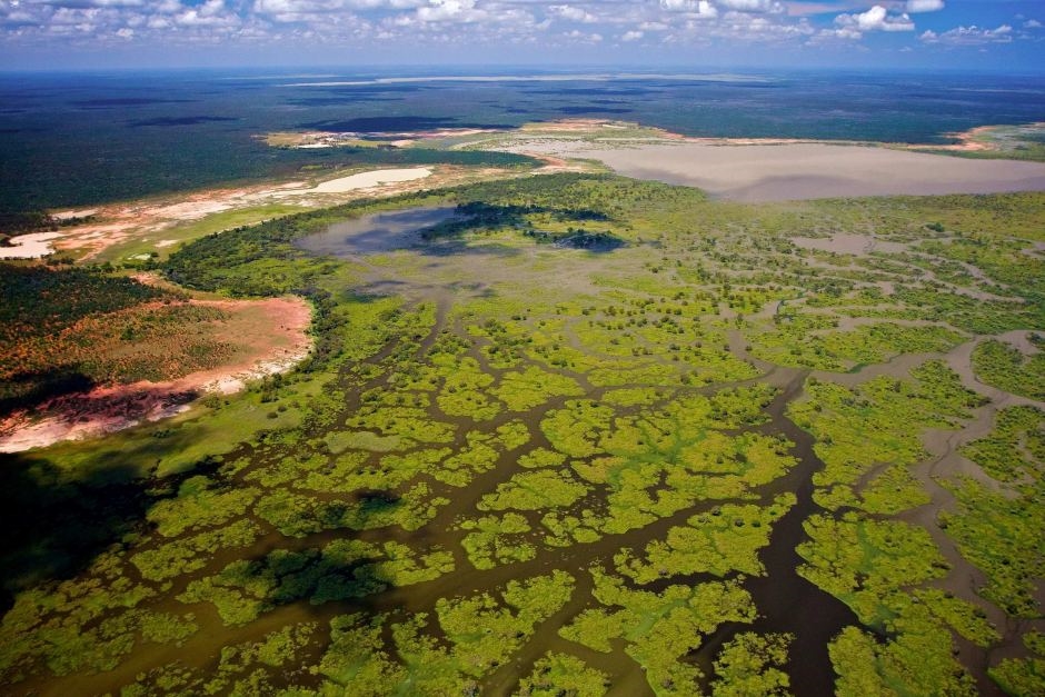
The Macquarie Marshes is in central northern NSW, around 100 km north of Warren and 30 km west of Quambone, in the northern Murray Darling Basin. The Macquarie Marshes are associated with the floodplains of the Macquarie River and its tributaries. They are one of the largest remaining semi-permanent wetland systems in inland Australia and eventually drain into the Darling River. The climate of the Macquarie Marshes system is semi-arid with annual average rainfall being around 400 mm. Most of the Marshes are privately owned by pastoralists who are reliant on flooding for grazing cattle, and part of them is managed as a NSW National Park estate.
The marshes have hosted some of the largest-scale waterbird breeding ever recorded on the continent, especially in the aftermath of major floods. The historical maximum flooding of 4,780 square kilometers was recorded in the mid-1950s; since then flooding has become both less frequent and less extensive.
Map source: Environment Australia 2001
This complex system of large wetlands are significant to Aboriginal people as the traditional country of the Wailwan people. More than 500 Aboriginal cultural heritage sites have been recorded in the Macquarie Marshes area and are important as cultural and spiritual places.
A number of studies have shown there have been major changes to the natural flow regime of the Macquarie River since the construction of Burrendong Dam in 1967. Over a 27 year period (1979-2006) a significant reduction in the frequency of flooding was recorded, meaning a loss of three or more spring floods in each nine years. These changes have impacted waterbird populations and the extent of the semi-permanent wetlands, therefore the threat of reduced water flows is a major risk to the survival of both the marshes and waterbirds that rely upon them.
Source: Joanne Ocock/OEH
The Macquarie Marshes Nature Reserve covers an area of almost 22,000 hectares and was created in January 1971 which now protects this important wetlands, under the management of the NSW National Parks and Wildlife Service. There are a also a number of sites within the Macquarie valley that are listed as Wetlands of International Importance, under the Ramsar Convention, including parts of the Macquarie Marshes Nature Reserve, and two privately-owned properties Wilgara and U-Block. Ramsar listing occurred in 1986. The original justification for listing was that it supports nationally threatened species, including the Australasian Bittern and Painted Snipe and provides habitat for migratory shorebird species and large numbers of colonially-nesting waterbirds.
Source: Debbie Love/OEH
The Marshes are recognised nationally and internationally for their importance as waterbird habitat, with at least 76 waterbird species (44 breeding) recorded using the wetlands. The Macquarie Marshes is one of the most important breeding sites for colonially-nesting waterbird species in Australia. Sixteen colonially-nesting waterbird species have been recorded breeding in the Marshes, including large numbers of Eastern Great Egret, Intermediate Egret, Nankeen Night-Heron, Glossy Ibis, Australian White Ibis and Straw-necked Ibis.
The Macquarie Marshes experienced prolonged flooding over much of 2010-12, which included large river flooding and environmental water releases. Most of the ‘core’ Marsh areas were wet (around 43,500 ha) over spring-summer 2012 due to a wet winter and water released between late September 2012 – January 2013. During the winter 2012 (autumn) to 2016 period there was no major flooding in the Marshes, although environmental water was released to maintain wetland habitat and small numbers of generalist species were recorded breeding. In winter-spring 2016 large-scale flooding supported large numbers of colonially-nesting species (>50,000 nests) including breeding colonies of Glossy Ibis.

Source: Tim Hosking/OEH
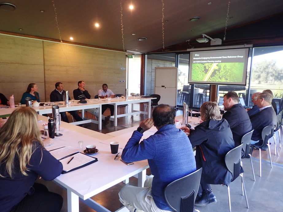
The local community has a powerful and positive influence over river and floodplain health, through the Macquarie Cudgegong Environmental Water Advisory Group. Members are drawn from a range of local interest groups to provide advice on planning, management and monitoring of water for the environment in the mid and lower Macquarie valley. The group provides a platform for all stakeholders with an interest in water management to be consulted and have input into the planning, management and monitoring of water for the environment in the Macquarie catchment.
To support good decisions, the NSW Office of Environment and Heritage takes advice from this local and dedicated group, who have a major the role in planning environmental releases, with their focus on the longer term benefits and best use of environmental water in the Macquarie Valley.